 Case study · Mobile
FieldStamp GPS Camera
GPS photo stamps. Capture photos with GPS stamps, project notes, and exportable location details.
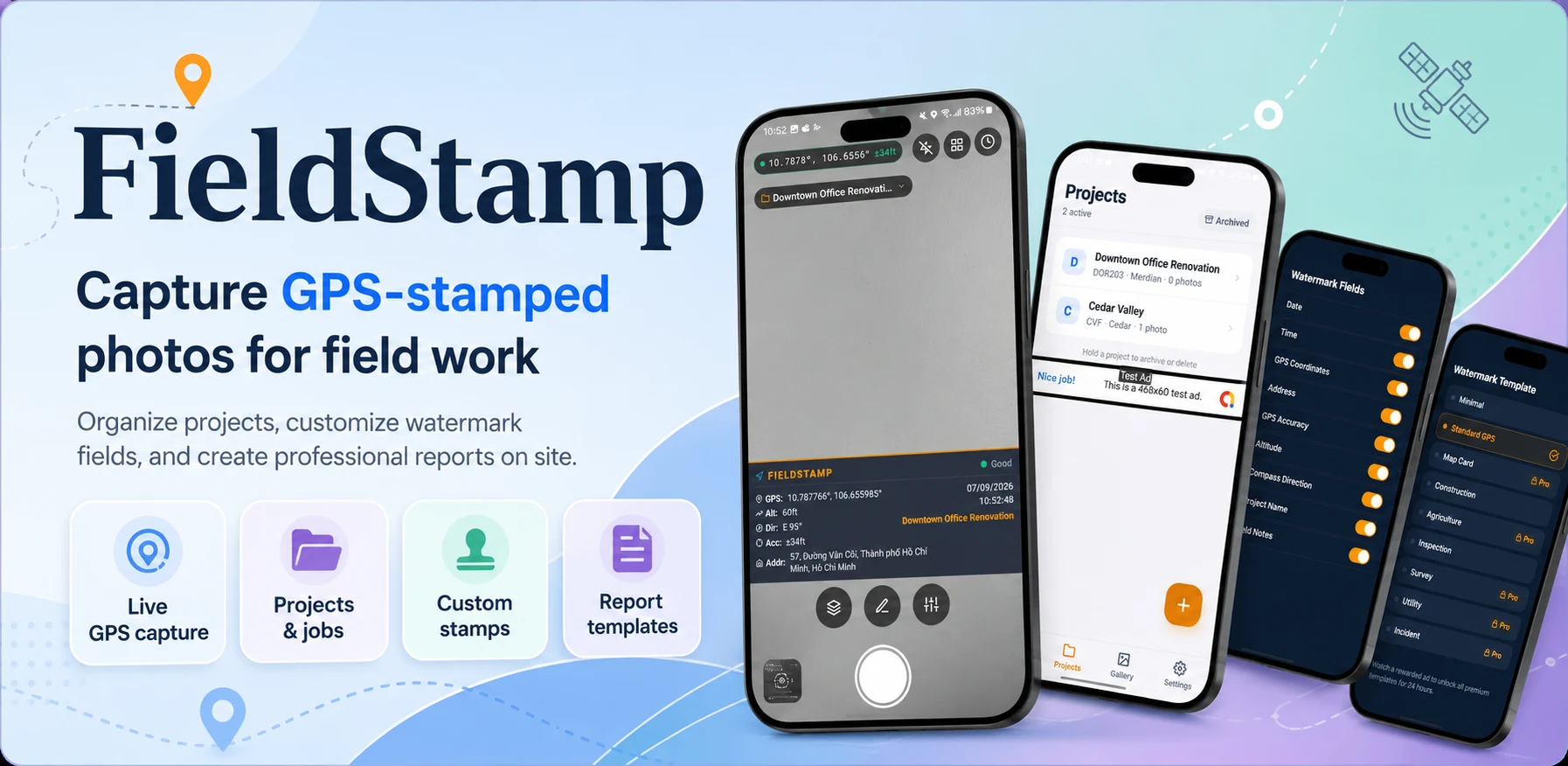
- Platform
- App Store
- Category
- Photo & Video / Business
- Focus
- Field documentation
- Version
- 1.5
Overview
The all-in-one GPS photo stamping app for professionals who need accurate field documentation and polished reports.
Challenge & approach
The challenge
Teams in the field need proof and context, not just photos, and they need a faster way to package that evidence into reports.
Our approach
The idea is to make every field photo more useful by attaching time, place, and project context at the moment of capture.
What we shipped
- 01
GPS-stamped photos
- 02
Professional watermarks
- 03
PDF field reports
Inside the product
01
GPS-stamped photos
Construction progress reporting
02
Professional watermarks
Site and property inspection records
03
PDF field reports
Incident, damage, or compliance documentation
More screens
Built for
- Contractors and construction teams
- Inspectors and survey crews
- Property managers and engineers
- Agriculture and utility field teams
Stack & tags
FAQ
What does FieldStamp GPS Camera do?
It captures photos with GPS stamps, project notes, and exportable location details.
Who is it made for?
It is useful for field teams, site documentation, inspections, and location-based reporting.
Try FieldStamp GPS Camera
GPS photo stamps